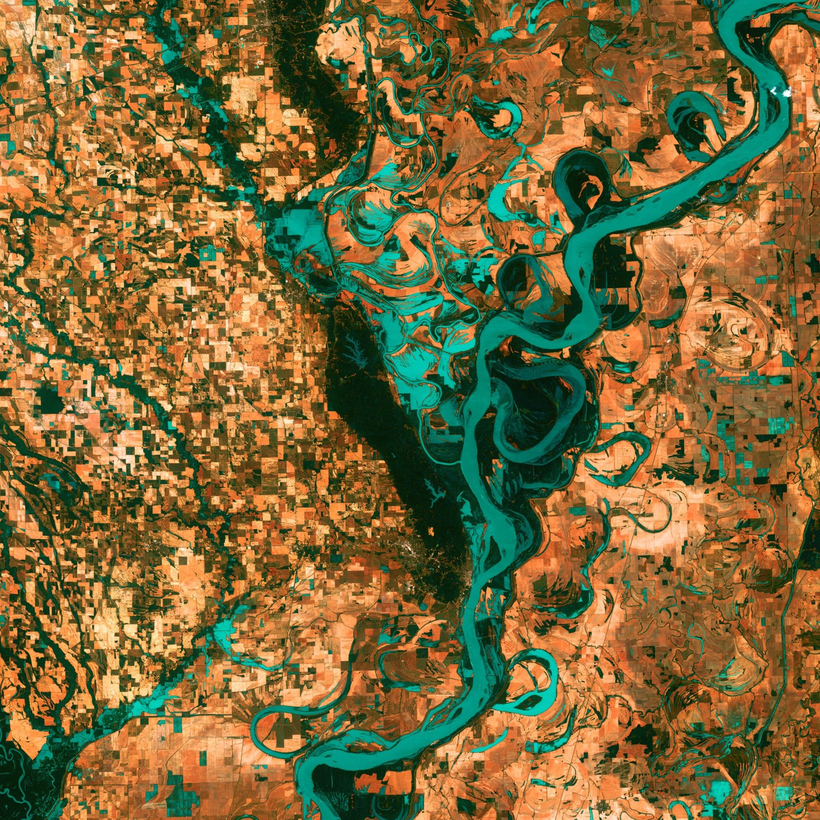
Satellite imagery has revolutionized our ability to monitor and understand changes in Earth’s land cover. By capturing images of the Earth’s surface from space, satellites provide valuable information that can be used to track and analyze changes in vegetation, urbanization, deforestation, and other land cover dynamics. In this article, we will explore how to interpret satellite imagery for monitoring these changes.
Understanding Satellite Imagery
Satellite imagery is captured using sensors mounted on satellites orbiting the Earth. These sensors capture electromagnetic radiation in various wavelengths, including visible, infrared, and microwave. Each wavelength provides unique information about the Earth’s surface and its features.
Visible imagery, for example, captures the light that is visible to the human eye. It can be used to identify different types of land cover, such as forests, grasslands, and water bodies. Infrared imagery, on the other hand, can reveal information about vegetation health and moisture content. Microwave imagery can penetrate clouds and provide information about surface roughness and soil moisture.
Interpreting Satellite Imagery
Interpreting satellite imagery for monitoring changes in Earth’s land cover requires a combination of visual analysis and digital image processing techniques. Here are some steps to help you interpret satellite imagery effectively:
1. Acquire the Imagery
The first step is to obtain the satellite imagery for the area of interest. There are several sources where you can access satellite imagery, including government agencies, commercial providers, and open-source platforms. Choose the imagery that best suits your needs in terms of spatial resolution, spectral bands, and temporal coverage.
2. Preprocess the Imagery
Before analyzing the satellite imagery, it is essential to preprocess the data. This may involve correcting for atmospheric effects, removing noise, and enhancing the image’s quality. Preprocessing techniques can vary depending on the specific characteristics of the satellite imagery and the desired analysis.
3. Visual Interpretation
Visual interpretation involves visually analyzing the satellite imagery to identify and classify different land cover types. This can be done by examining the colors, textures, shapes, and patterns in the imagery. It is important to have a good understanding of the area being analyzed and its land cover characteristics to make accurate interpretations.
4. Digital Image Processing
Digital image processing techniques can enhance the interpretation of satellite imagery. These techniques involve applying mathematical algorithms to the imagery to extract additional information or highlight specific features. For example, image differencing can be used to detect changes between two or more images taken at different times, while image classification can be used to automatically classify land cover types.
5. Validation and Accuracy Assessment
Once the interpretation and analysis are complete, it is crucial to validate the results and assess their accuracy. This can be done by comparing the interpreted land cover types with ground truth data collected in the field or from other reliable sources. Accuracy assessment techniques, such as error matrices and kappa statistics, can help quantify the reliability of the interpretation.
Applications of Satellite Imagery in Land Cover Monitoring
Satellite imagery has a wide range of applications in monitoring changes in Earth’s land cover. Some of the key applications include:
- Tracking deforestation and forest degradation
- Monitoring urban expansion and land use changes
- Assessing the impact of natural disasters on land cover
- Monitoring changes in agricultural practices and crop health
- Evaluating the effectiveness of land management and conservation strategies
By combining satellite imagery with other geospatial data and advanced analytical techniques, researchers and policymakers can gain valuable insights into the state of the Earth’s land cover and make informed decisions for sustainable land management.
Conclusion
Satellite imagery is a powerful tool for monitoring changes in Earth’s land cover. By understanding how to interpret satellite imagery, we can unlock valuable information about vegetation, urbanization, deforestation, and other land cover dynamics. Through a combination of visual interpretation and digital image processing techniques, satellite imagery can provide critical insights for sustainable land management and environmental decision-making.


